HGIS is a tool that I had absolutely no experience with at the beginning of my degree, yet now it has begun to take up my attention in greater and greater amounts. I first encountered HGIS in the third year of my degree, walking in bright eyed and innocent, to History 311: Mapping History taught by professor Benjamin Hoy. He was the first to introduce me not only to the concept of GIS, but also what practical abilities it held for the aspiring historian. From theory to tools this class set out an entirely new method of conducting history, and presenting information. Through the labs and tutorials of the 311 class I gained a set of skills that not in my wildest dreams had I imagined gaining in a university history class from the stylistic design of maps, to file management, and basic Excel skills.

This was also my first encounter with the issues and bugs that plague QGIS. These issues range from the relatively minor, like unintuitive user interface, to the incredibly painful like the having your work entirely lost or corrupted. These issues in addition to a fairly sharp learning curve while figuring out button placement, how to import data correctly, and how to save your work so it won’t be lost or erased I know from experience can make learning GIS a daunting task. By the end of the course however, my skills had improved significantly, being able to create a map that not only looked fairly attractive in my opinion, but actively helped to make a historical argument based on historical data that I had collected. This is where HGIS really came into its own for me, as you are able to take complex or large amounts of data and present it in such a way that the viewer can understand your point quickly and with minimal aid from text.
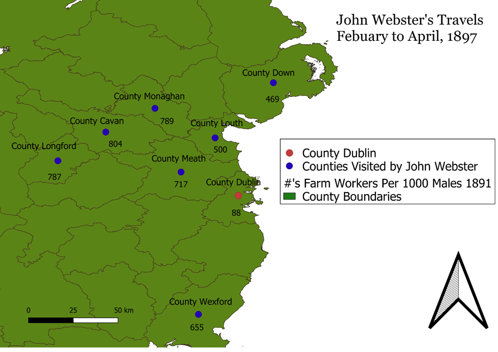
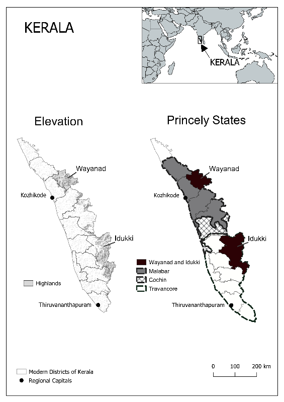
This past summer I got to take this further designing maps for professor Jim Handy as part of his upcoming book. These maps introduced me to new tools still and further improved upon the skills I already had. It was during these maps that I was introduced to the power of open-source tutorials and instructional videos related to QGIS which allowed me to incorporate things like elevation into my maps. These videos as long as they are up to date with the version of QGIS in use, unlike texts or written instructions allow you to see each step in real time significantly reducing the learning curve on everything from fundamental to complex functions. While far from perfect these serve as a free resource that can greatly increase and expand your abilities in GIS. These maps for professor Jim Handy also introduced me to the “joy” of working in grayscale, with this limitation of publishing forcing creative use of symbology and labels.
On march 3rd I worked with ArcGIS for the first time, and was generally unimpressed. There were some improvements that I noticed immediately, namely the undo button, and an improved interface for working with attribute tables,. While I will acknowledge that my experience was probably shaped by both my experience with QGIS and the computers we were using ArcGIS on, I saw nothing that to me justified the huge cost, other than the fact that it is the industry standard program.
Although at times frustrating, and unforgiving then I believe that HGIS stands as one of the lowest investment, highest yield skills a historian can learn. While it initially can be hard and feel like you are just copying tutorials it quickly opens up and allows you to augment your work in ways that require little effort and help to illustrate your points clearly. This is not to say it is universally useful to every historical project, especially in those in which hard geographic data is less common. HGIS lends itself significantly more to more modern subjects, and takes on an increasingly important role in those subjects that deal with a large scale, or lots of data. The maps you can produce with even a rudimentary knowledge of a free program like QGIS present a new world of possibility for both historical argumentation, and presentation to both a public and academic audience.