
Image courtesy of RMOToday.com
The following is an excerpt from an article in RMOToday.com:
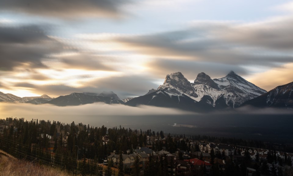
BOW VALLEY – With warmer weather throughout the Rocky Mountains, experts and municipal officials are keeping an eye on snowpack levels and weather forecasts as well as their potential effects on the Bow Valley’s waterways.
With a network of 35 high-elevation weather stations across the Rocky Mountains – from the Athabasca Glacier to the top of Fortress Mountain – director of the Canmore-based University of Saskatchewan’s Cold Water Laboratory John Pomeroy said Monday (April 27) that snowpack levels in the front ranges are currently above average.
“When you see a lot of snow on the mountains around Canmore, that is reflecting those high front range snowpacks,” Pomeroy said.